Imagery Types
There are several archive imagery types available in Discover.
Vantor's 125+ petabyte imagery library dates to 1999. It contains a mix of panchromatic (black/white) and color imagery (up to 18 multispectral bands), with global coverage up to 30 cm resolution.
Browse-level imagery streams at low resolution.
Vantor's most popular product. This imagery type has been processed to ensure that it is accurate, consistent, and comparable to other images or datasets that use the same reference point. This imagery is ready for ortho-rectification. It is radiometrically, sensor-, and geometrically corrected.
This imagery type is projected to average base elevation and resampled. It is ideal for image manipulation and photogrammetric analysis by image processing systems, as well as image viewing and feature analysis in geographic information systems.

An example of OR2A imagery.
Vantor's most basic and raw product. This imagery type is ideal for image manipulation and photogrammetric analysis by image processing systems.
This basic processing level offers an imagery product for scientific analysis that is radiometrically and sensor-corrected.
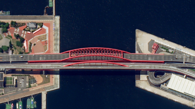
An example of 1B imagery.
Vantor's best product for image viewing and feature analysis in geographic information systems.
This imagery product is for visualization and graphic design. It is terrain-adjusted for visual consistency.
View-ready imagery is processed to ensure that it is accurate, consistent, and can be compared to other images or datasets that use the same reference point. Additionally, this imagery type is projected and resampled, and has a coarse digital elevation model (DEM) applied.
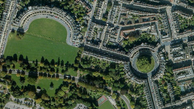
An example of 2A imagery.
High-quality, standardized imagery that has been orthorectified (i.e., corrected to remove distortion caused by terrain variations, and sensor angle), radiometrically calibrated, and georectified to produce a highly accurate imagery product ready for seamless integration into workflows. Optimized resampling, color balancing, and mosaicking does not apply. Pansharpening is also an option.
Map-ready imagery is ideal for image viewing and locational referencing. It is also designed for mapping and digitization, and ortho-rectified for best geolocational accuracy.
This imagery type provides a high degree of cartographic accuracy.
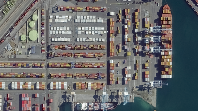
An example of map-ready imagery.
Archive stereo pairs are two images taken by the same satellite, approximately 45–90 seconds apart. Stereo imagery products are designed for users with advanced image processing capabilities and photogrammetric tools. This product is ideal for Digital Elevation Model (DEM) generation, 3D visualization and feature extraction applications. Stereo images are collected in-track, meaning on the same orbit, and are acquired at angles optimal for stereo viewing and manipulation. View the stereo pair's minimum and maximum convergence angles in the images' metadata.
The Tasking AOI product option only applies to Salesforce users
However, if you simply want to create an AOI for export without returning any imagery, you can select this option. Create an AOI, then export it to use in a third-party program.